Events/Attractions
Events/Attractions
Home NEW Updates About Us Feedback Historic Sites Consultants Contact Us Terms/Conditions
|
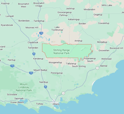
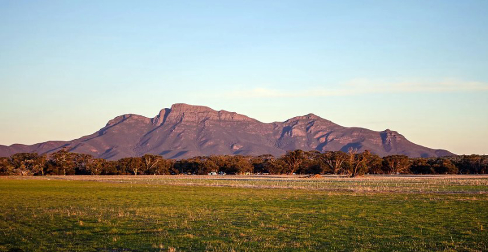
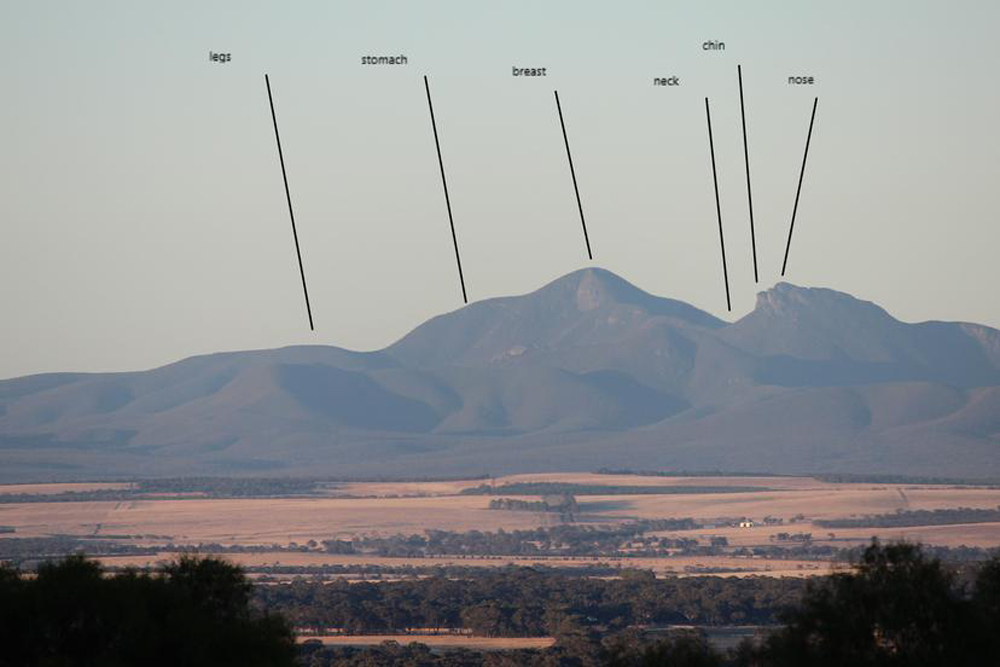
STIRLING RANGES STIRLING RANGE NATIONAL PARK is a national park in the Great Southern region of Western Australia, south of Gnowangerup, and approximately 337 kilometres (209 mi) south-east of Perth. |
MAP OF THE STIRLING RANGES |
|
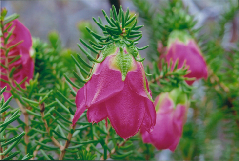
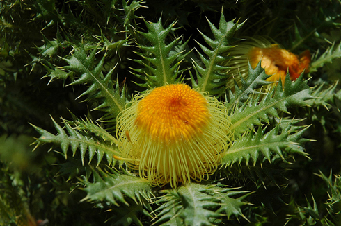
More than 1500 species of flowering plants exist in the Stirling Ranges, representing almost 40 percent of the known flora of the south west. Approximately 80 species grow nowhere else in the world. Mt Trio is known for its bright red mountain bell, Darwinia lejostyla. |
|
|
|
EARLY HISTORY
|
|
|
|
|
|
|
|
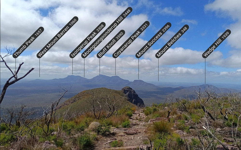
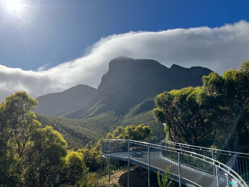
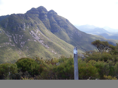
BLUFF KNOLL #1 |
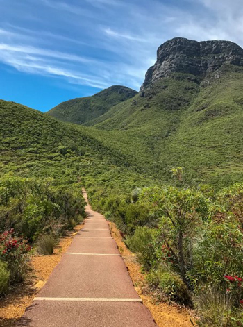
START OF THE CLIMB UP BLUFF KNOLL #2 |
|
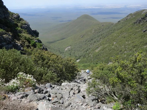
ON THE CLIMB UP BLUFF KNOLL #3 |
ON THE CLIMB UP BLUFF KNOLL #4 |
|
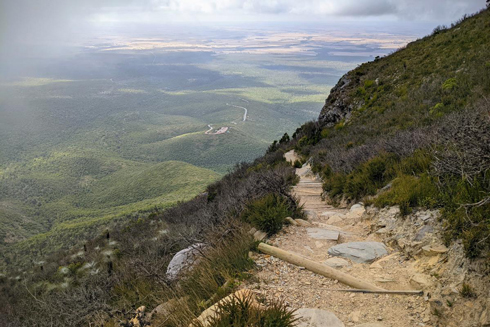
ON THE CLIMB UP BLUFF KNOLL #5 |
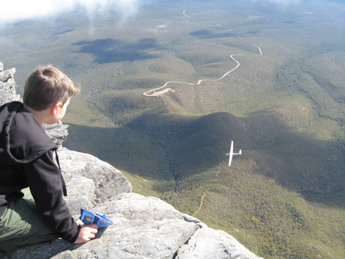
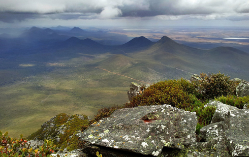
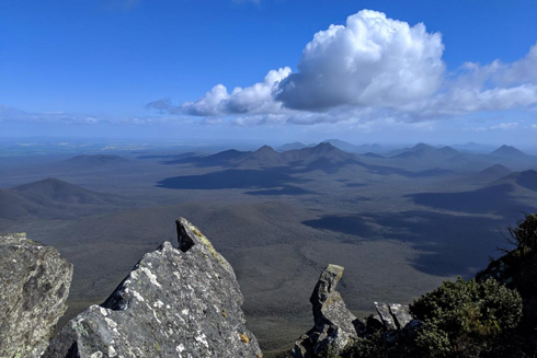
VIEW FROM THE TOP OF BLUFF KNOLL #6 |
|
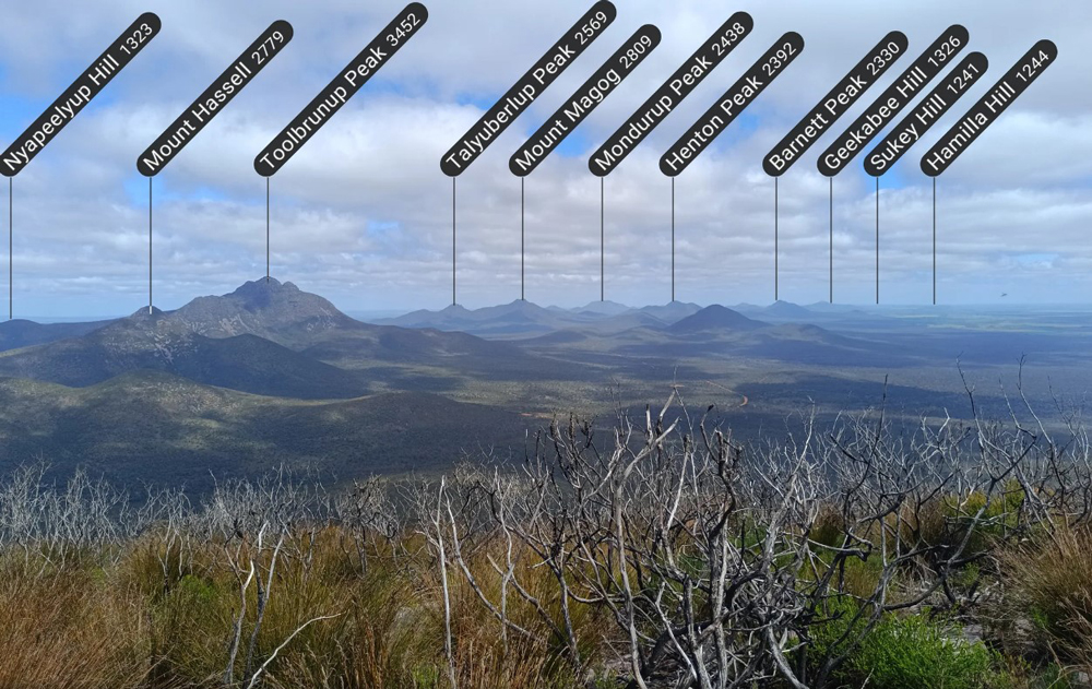
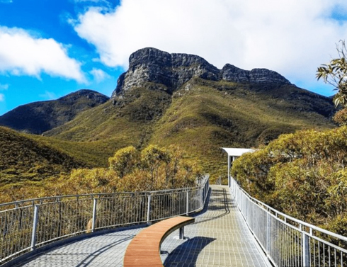
TOOLBRUNUP |
STIRLING RANGE FLORA |
|
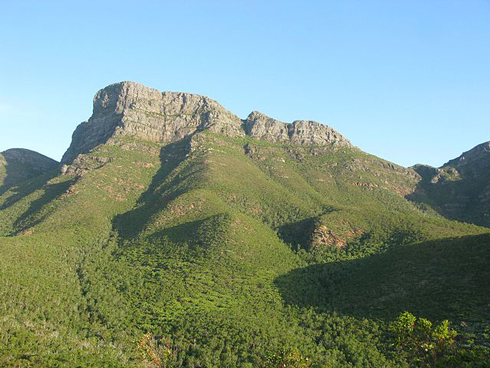
MOUNT TOOLBRUNUP #1 |
THE ROCKY CLIMB UP MOUNT TOOLBRUNUP #2 |
|
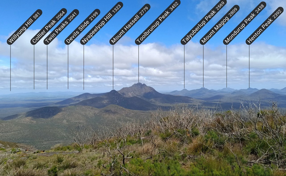
VIEW FROM TOP OF MOUNT TOOLBRUNUP #3 |
VIEW FROM TOP OF MOUNT TOOLBRUNUP #4 |
|
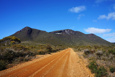
THE ROAD INTO MOUNT TRIO #1 |
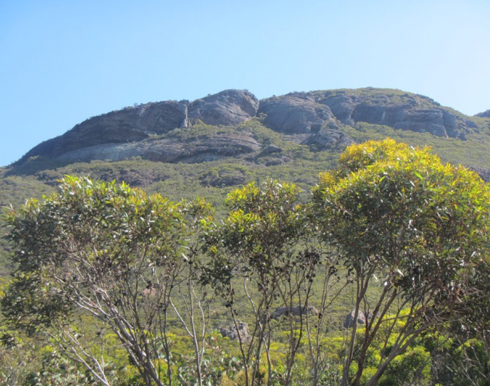
MOUNT TRIO #2 |
FLORA
|
STIRLING RANGE FLORA |
FAUNAThe park has been identified by BirdLife International as an Important Bird Area (IBA) because it supports populations of endangered short-billed black cockatoos and western whipbirds, and is visited by endangered long-billed black-cockatoos.
|
|
Every endeavour has been made to accurately record the details however if you would like to provide additional images and/or newer information we are pleased to update the details on this site. Please use CONTACT at the top of this page to email us. We appreciate your involvement in recording the history of our area.
|
|
References: Article: "Fruit of the Country" by Merle Bignell Image:
Copyright : Gordon Freegard 2024 |